

Notations such as “(Hike 50)” refer to hikes in my book Day Hiking: Oregon Coast.
Cumulative mileage
figures in parentheses refer to mileage in this section only.
After Yachats, southbound OCT hikers enter a stretch of
coastline characterized by a couple of rocky headlands, which means some nice
forest trails—and some highway walking, though not too much. Once you get to
the other side of Heceta Head you will have no shortage of uninterrupted beach
to walk on. For days.
From the end of the Yachats 804 trail, follow US 101 south
over the Yachats River bridge and immediately turn right on Yachats Ocean Road
and follow it for a mile, until it loops back to US 101. Pick up the little
path parallel to the highway’s west shoulder, following it south 0.4 mile as it
crosses a little footbridge and then
crosses the highway at Windy Way and continues south on the east side of US 101,
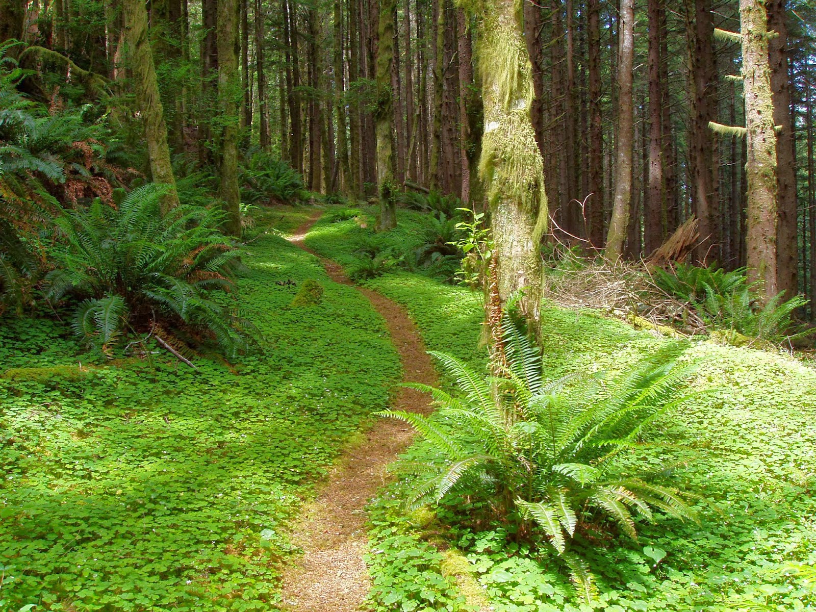
a total of 0.4 miles, to the bottom of Amanda's Trail, in photo at right (Hike 50). Follow
the trail up Cape Perpetua 2.2 miles (fairly steep for the first 1.5 miles) to
a junction; go right and right again to reach the stone shelter and viewpoint
at the top of Cape Perpetua (4.1 miles).
Continue through the shelter on the
path to where it meets St. Perpetua Trail (Hike 51) and follow it 1.5 miles
down the south side of Cape Perpetua to the interpretive center
(toilets/water). The OCT resumes as a path parallel and just west of the
entrance road; shortly it crosses that road and continues south, just above the
highway, crossing Gwynn Creek after 1 mile and ending at a gravel road leading
east to Cummins Creek Trail; take it west 0.1 mile to U.S. Highway 101 (7
miles). Now you’re back on the highway shoulder for about 1.5 miles to Bob
Creek and perhaps another 0.6 mile or so until you can find a way to squeeze
between houses and get back to the beach. You get about 0.7 miles on the beach
until you wade across Tenmile Creek and, just beyond it, must return to the
highway at Stonefield Beach Wayside (10 miles). Walk the highway shoulder for
2.8 miles to Rock Creek, where the Forest Service has a small (15 sites)
campground with potable water and vault toilets (see below). Cross the creek
and follow a little trail down to the beach, continuing south for 1.1 miles to
China Creek (13.9).

If you want to
continue hiking at this point, cross China Creek and go about 1.7 miles more;
approaching Heceta Head (photo at left), watch for an OCT trail post in the brush at the edge
of the beach; it's the end of the Hobbit Trail (Hike 60), which leads out to US
101 and the start of the southbound lighthouse trail (Hike 62).
If, at China Creek, you're ready to call it a
day, cross the creek and pick up the asphalt path that starts just over the
foredune; it leads 0.5 mile to Washburne State Park, which has a hiker-biker
camp. When you’re ready to resume your trek, pick up China Creek Trail (Hike
61) at the south end of the park and walk it 1.6 miles to US 101, Cross the
highway to pick up the southbound lighthouse trail (Hike 62).
Rock Creek Campground is typically open from mid-May to
mid-September; it’s quiet and small, with no RV hook-ups. Sites may be reserved
in advance, so it’s possible it will be booked up when you arrive (there is no
hiker-biker camp). There are a few
motels scattered along the highway in this stretch.
No comments:
Post a Comment